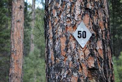
#50
 It was the 1870s. Gold had been found in them thar Hills and the miners were pouring in, sneaking over borders into Indian territory to make their fortunes. Mining camps popped up in valleys and on hillsides as the search began.
Southwest of Rapid City, then just a settlement on the far east border of sacred land, miners struck gold -- but had a problem. They were digging into dry mountainside, the search slowed by the lack of water. An entire town had grown around the find but it was slow going without a steady supply for their panning.
But to the west was a small lake and this gave an idea. A group of people gathered, calling themselves the Rockerville and Spring Creek Hydraulic Company and developing a plan for a flume that would carry water from Sheridan Lake to the boom town of Rockerville. With investors from the east coast, a plan was laid out involving a dam on the lake, tunnels, trestles, built-up rock walls, and plenty of track to cover the twisting route through the Hills, giving a flume that would be over eleven miles in length when it was done.
The job was massive. With $2 million (equivalent to over $40 million in today's money), countless workers, and thousands of logs, the flume -- four feet across, entirely of timber tied together, dropping at a rate of eight feet each mile -- finally brought water to Rockerville in 1881.
 The effect was almost immediate. Now able to pan effectively, twice as much money was made from gold than before and the boom town flourished.
Before long, the wooden aqueduct started to leak, and a young boy in the area -- Ben Rush -- was hired to fix this problem. Each day, he walked the full length of the flume, plugging holes with rags, making the trek from Rockerville to the lake on one day and repeating the chore the next day in the opposite direction.
In only ten years' time, the flume had rotted to the point of being unusable, just as the boom was dying down. Rockerville's population declined; miners moved further into the Hills and found new water sources or moved on to the next boom.
The flume itself was abandoned to the forest. Eventually, the area would be logged, leaving many of the hills nearly bare. Yet the flume -- and the path built for it -- would remain.
120-some years later, Black Hills Trail #50 -- the Flume Trail -- follows the original path of the flume from the lake to the ghost town of Rockerville.
And, despite having lived here for most of my adult life, I've never hiked it. This past weekend, as we were between groups, my coworkers let me tag along and partially reconcile that massive oversight.
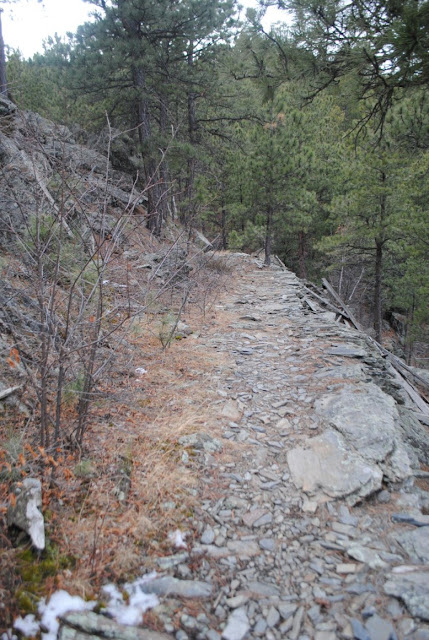
We covered just a few miles of it, but it was enough to convince me that I need to do an end-to-end hike in the near future. The trail is fairly easy -- it's level, traversing the very same reinforced terrain that the flume was built on, going around hills instead of over them.
There are still pieces of the original flume scattered along the trail, along with the rockwork that was done to support the structure. In some spots, you can still find piles where trestles slid down the hill.
There was a forest fire in the area eleven years ago as well; here and there you can find damage besides the cleared hillsides.
What's almost more remarkable is the recovery that's happened. Aside from the remnants of flume, you'd never know gold miners used to populate this area of the Hills. You wouldn't know how bare the area was thanks to the logging. And in this area, we don't yet see much of the damage caused by pine beetles that's so obvious further south.
Despite us, the Hills find a way to recover and grow around us, just as they have for the last 150 years of settlement.
And that may be the most remarkable part of this truly interesting trail.


Comments